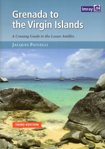
Cruising guide to the Virgin islands
with nautical chart scale
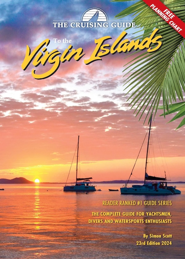
Cruising guide to the Virgin islands
with nautical chart scale
- Disponibile in 7 giorni
- Possibilità di reso entro 10 giorni lavorativi
- Transazione sicura con carta di credito, Paypal o bonifico bancario
- Spedizione tracciata con SDA
This 2023 edition marks our 41th year of assisting sailors and vacationers cruising the tropical waters of both the British and U.S. Virgin Islands. This edition is packed with the latest information on navigation, including key GPS coordinates, customs and immigration regulations, weather, communications, marinas, haul-out facilities, chandleries, dive services, shore-side services, shopping and an indispensable wealth of other valuable information and includes COVID-19 protocols, quarantine anchorages, and testing facilities. The Cruising Guide to the Virgin Islands is filled with detailed charts of the various anchorages, supported with colorful aerial photography in addition to piloting, anchoring and shoreside information. The Island Connections sections provide valuable telephone, email and website information to make finding island businesses, services and restaurants effortless. Additionally, the guide includes a free, fold-out color 27” x 17” planning chart covering the British and U.S. Virgin Islands. This guide covers the Virgin Islands including all the U.S. and British Virgin Islands: St. Croix, St. Thomas, St. John, Jost Van Dyke, Tortola, Virgin Gorda, Anegada and all the smaller islands in between. If you are sailing south to the Leewards we include a section on passages from the Virgins to the Leeward Islands. The Cruising Guide to the Northern Leeward Islands picks up where this guide leaves off, beginning in Anguilla.