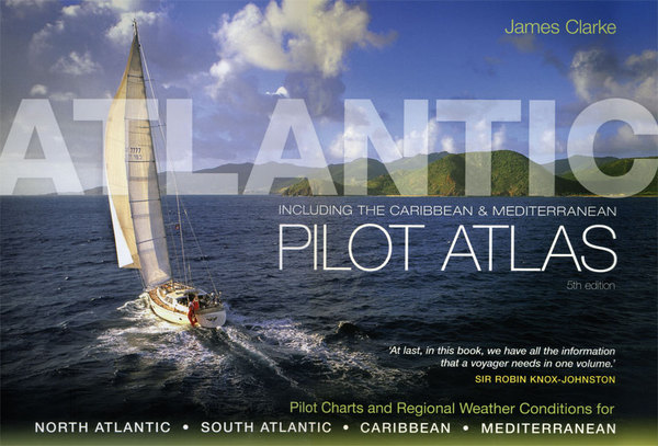
Atlantic pilot atlas
pilot charts and regional weather conditions for the N.& S.Atlantic-Caribbean-Mediterranean
Carta Nautica Atlantic pilot atlas
pilot charts and regional weather conditions for the N.& S.Atlantic-Caribbean-Mediterranean
- Disponibile in 7 giorni
- Possibilità di reso entro 10 giorni lavorativi
- Transazione sicura con carta di credito, Paypal o bonifico bancario
- Spedizione tracciata con SDA
A complete guide to the weather for the North and South Atlantic, the Med and Caribbean. Includes new forecasting techniques. 40 specially-drawn color charts show winds, currents, gale frequencies, recommended sailing routes for each month of the year. Pilot Charts and Regional Weather Conditions for: North Atlantic, South Atlantic, Caribbean, Mediterranean. Monthly pilot charts. Unique, highly detailed month-by-month charts showing all the information required for voyage planning: Wind and current information. Complied from statistical date from the US Defense Mapping Agency. Winds, currents and wave heights, along with the probability of calms, gales and pack ice limits for route planning. Tropical cyclone trancks Hurricane information and up-to-date storm classification systems are given, together with forecasting services. The likelihood of hurricanes and their probable tracks are shown on the charts so that dangerous areas can be avoided during the hurricane season. Sailing and shipping routes. Classic trans-oceanic route and major shipping routes. Regional weather information. Detailed weather information for all areas in the Atlantic, Caribbean and Mediterranean, including regional anomalies. A pictorial index makes local weather information easy to find. Caribbean cruising information. A useful guide to the major Caribbean destinations, including weather forecasting sources, hurricane holes and background information. Ocean mammals. Background information on these fascinating creatures tracing their migration routes, which will help Atlantic sailors identify some of the more common species. The Atlantic pilot atlas has proved an invaluable aid for anyone planning a North or South Atlantic crossing or a Caribbean or Mediterranean cruise. Questa pubblicazione raccoglie tutte le Pilot Charts per il Nord Atlantico, Sud Atlantico, Caraibi e Mediterraneo, inserite mese per mese, con i dettagli sui venti e sulle correnti, rotte, percorsi degli uragani. Contiene inoltre esaurienti informazioni meteo per tutte le località dell'Atlantico, dei Caraibi e del Mediterraneo. Notizie generali sulle principali destinazioni caraibiche con i relativi hurricanes hole. Infine una sezione informativa sui mammiferi dell'Atlantico. Tutte le informazioni utili al navigante in un unico volume.

