Atlas of Columbus and the great discoveries
Atlas of Columbus and the great discoveries
- Non disponibile, richiedi informazioni sulla disponibilità
- Possibilità di reso entro 10 giorni lavorativi
- Transazione sicura con carta di credito, Paypal o bonifico bancario
- Spedizione tracciata con SDA
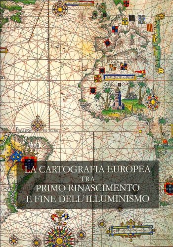
This magnificent atlas with 50 beautifully reproduced color plates of maps dating from the 15th and 16th centuries joins the growing literature published to commemorate Columbus's discovery. The book is divided into four parts. Part 1 includes a series of maps and charts which may have influenced Columbus in preparing for his first voyage. Among them are a world map of Claudius Ptolemy reprinted in Florence in 1574 and various nautical and portalan charts. Part 2 focuses on maps of Columbus's contemporaries and includes Martin Waldseemuller's famous world map of 1507. The many discoveries of the first half of the 16th century are highlighted in part 3 in maps of the Magellan expedition by Antonio Pigafetta. Part 4 opens with Geradus Mercator's innovative mercator projection of the world (1569) and highlights Francis Drake's depredations in the Spanish West Indies in the detailed charts of Batista Boazio. Expert commentary is provided by renowned map historian Nebenzahl, whose previous works include the Atlas of the American Revolution (Rand McNally, 1974), and Maps of the Holy Land (Abbeville Pr., 1986). There is a four-page bibliography of sources cited in the text. While some of the smaller maps have been reproduced so well that place names can be easily read, other large-scale reductions are useful only for general perspectives. A valuable addition to map collections of most academic and large public libraries.