Atlas of pilot charts North Pacific Ocean
carte pilot dell'Oceano Pacifico a Nord dell'Equatore
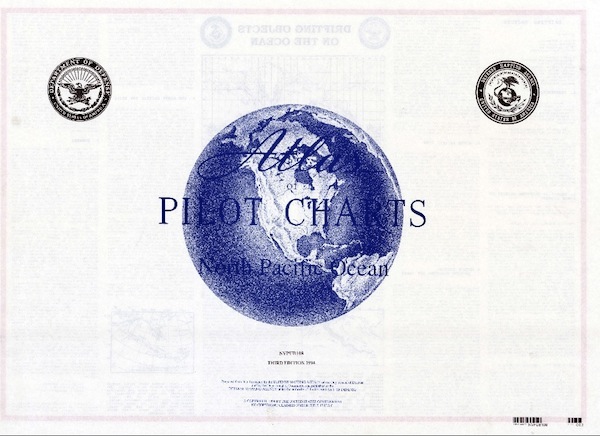
Carta Nautica Atlas of pilot charts North Pacific Ocean
carte pilot dell'Oceano Pacifico a Nord dell'Equatore
- Disponibile in 7 giorni
- Possibilità di reso entro 10 giorni lavorativi
- Transazione sicura con carta di credito, Paypal o bonifico bancario
- Spedizione tracciata con SDA
Atlas of Pilot Charts: North Pacific Ocean (PUB 108) covers the North Pacific Ocean from the Bering Strait between Alaska and Russia down to the equator, including the eastern coasts of China and the Philippines and the western coast of North America. There is also information about drifting objects on the ocean. The book is divided by each month of the year.