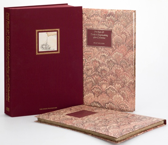
Khalili portolan atlas
a facsimile edition with text: Piri Reis and turlish mapmaking after Columbus
Khalili portolan atlas
a facsimile edition with text: Piri Reis and turlish mapmaking after Columbus
- Disponibile in 7 giorni
- Possibilità di reso entro 10 giorni lavorativi
- Transazione sicura con carta di credito, Paypal o bonifico bancario
- Spedizione tracciata con SDA
Columbus’s discoveries in the New World quickly became known in the Muslim lands around the Mediterranean, and the man who played a leading role in transmitting them was the Ottoman naval commander and cartographer Piri Reis. His work is known from fragments of two world maps, and from his Kitab-i Bahriye (‘Book of Seamanship’), which he devoted to the problem of sailing the Mediterranean and illustrated with hundreds of charts. The charts in the Khalili Portolan Atlas are largely based on this work, but the manuscript includes a number of important additions such as the series of city views - among them Istanbul, Venice and Cairo - which reflect the vitality of Ottoman topographic painting. The publication of this beautiful facsimile is an important contribution to cartographic history: its accuracy is such that there will be no barrier to scholars and collectors in attaining a full appreciation of the work. The facsimile is accompanied by a study in which the author outlines the successes of and failures of Piri Reis’s career, analyses his contribution to the history of mapmaking and provides a detailed analysis of the contents of the Khalili atlas.