Map of inland waterways of the Nederland
carta dei canali olandesi schaal 1:320.000
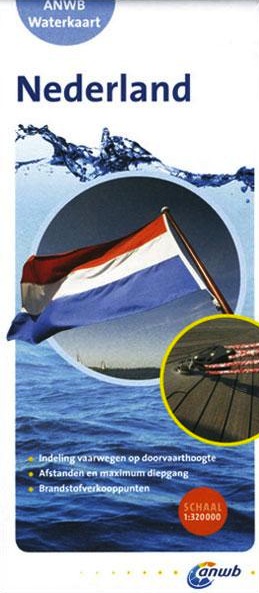
Carta Nautica Map of inland waterways of the Nederland
carta dei canali olandesi schaal 1:320.000
- Disponibile in 7 giorni
- Possibilità di reso entro 10 giorni lavorativi
- Transazione sicura con carta di credito, Paypal o bonifico bancario
- Spedizione tracciata con SDA
This map is the waterway network of the Netherlands. The main waterways are classified into several categories based on the maximum height by sailing on the route. Carta dettagliata a colori scala 1:320.000 che riporta il canale navigabile dei Paesi Bassi con legenda.