Marine atlas of the Hawaiian Islands
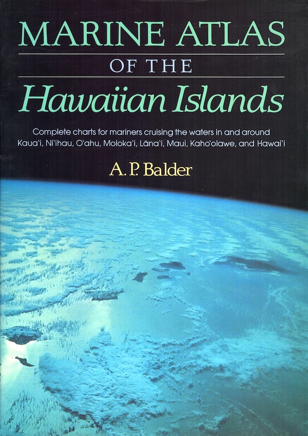
Marine atlas of the Hawaiian Islands
- Disponibile in 48 ore
- Possibilità di reso entro 10 giorni lavorativi
- Transazione sicura con carta di credito, Paypal o bonifico bancario
- Spedizione tracciata con SDA
Complete charts for mariners cruising the waters in and around Kaua'i, Ni'ihau, O'ahu, Moloka'i, Lana'i, Maui, Kaho'olawe, and Hawai'i. All 32 of the latest US National Ocean Service charts covering the main Hawaiian Islands are reproduced in color by laser scanning. Many are supplemented with succinct, informative entries taken directly from the United States coast pilot VII . Includes a Weather Service map and a marine and water sports map.