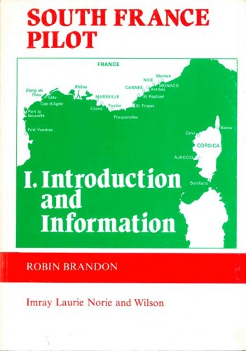
Mediterranean cruising handbook
includes route planning charts for the Mediterranean with over 400 waypoints
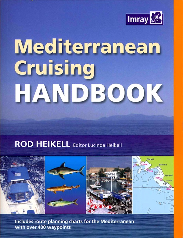
Mediterranean cruising handbook
includes route planning charts for the Mediterranean with over 400 waypoints
- Disponibile in 7 giorni
- Possibilità di reso entro 10 giorni lavorativi
- Transazione sicura con carta di credito, Paypal o bonifico bancario
- Spedizione tracciata con SDA
Imray's established 2-year almanac provides data for all the coasts and islands of the Mediterranean. It contains: Complete coverage for all the Mediterranean countries from Gibraltar clockwise to Morocco and the Atlantic islands. Over 500 plans of key harbours Full lists of radio weather and safety services Complete list of major lights Gibraltar tide tables This fully updated 5th edition has had a complete facelift and is now published in full colour. The Mediterranean Cruising Handbook is a companion to the Imray Mediterranean Almanac and provides information on climate, equipment, radio, navigation, routes to the Mediterranean, history, marine life, food and basic information on each Mediterranean country. It is available on its own or with the Mediterranean Almanac. Pubblicazione di complemento al Mediterranean Almanac, fornisce una serie di informazioni generali su ogni paese del Mediterraneo: storia e cultura, dizionario tecnico in sette lingue, tecniche di ancoraggio e ormeggio, attrezzature di bordo, fauna marina, rotte per il Mediterraneo, sicurezza in mare, navigazione costiera, sistemi di navigazione elettronica.