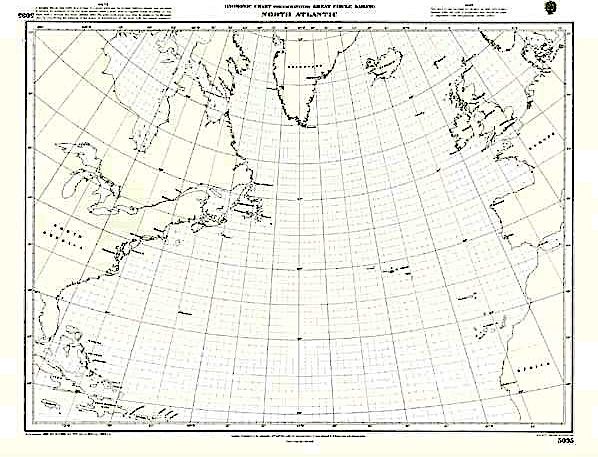
North Atlantic Ocean passage chart
Atlantic Crossing Chart Routes, winds, currents, ice information

North Atlantic Ocean passage chart
Atlantic Crossing Chart Routes, winds, currents, ice information
- Disponibile in 7 giorni
- Possibilità di reso entro 10 giorni lavorativi
- Transazione sicura con carta di credito, Paypal o bonifico bancario
- Spedizione tracciata con SDA
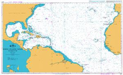
In plastica scala 1:7.620.000 this chart covers the North Atlantic from Brazil to Newfoundland and Gibraltar to the Caribbean. It has been constructed on a conical projection which means that Great Circle tracks can be plotted as straight lines rather than curves. The chart shows the main trend of contours, limits of ice, magnetic variations and keys routes as identified by D. M. Street. On the reverse are notes on the routes and small wind rose charts, with accompanying charts showing excessive wave heights and storm frequencies for the months that yachts cross the Atlantic: April to July and September to December. Chart 100 is an important companion for Atlantic yachtsmen on passage and an excellent source of planning information.