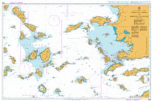
Northern Kyklades
Cicladi Nord
Carta Nautica Northern Kyklades
Cicladi Nord
- Disponibile in 7 giorni
- Possibilità di reso entro 10 giorni lavorativi
- Transazione sicura con carta di credito, Paypal o bonifico bancario
- Spedizione tracciata con SDA
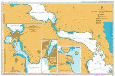
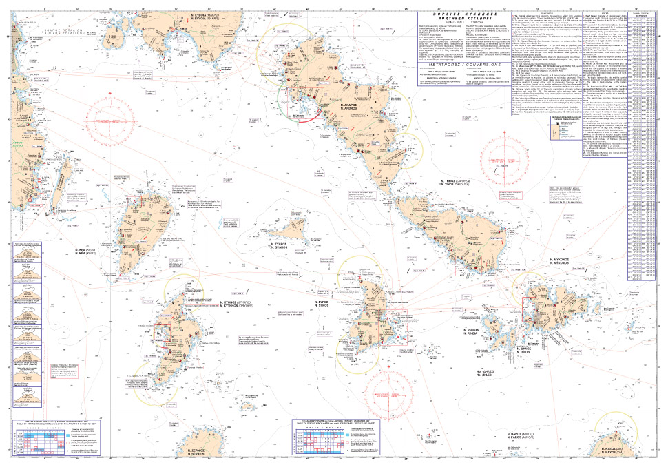
in plastica scala 1:163.000 From Attiki up to N. Mykonos. Includes: East coast of Attiki and O. Karystou; Islands of Kea, Kythnos, Syros, Andros, Tínos, Mykonos. Larger scale charts included in the back side: Lávrio harbour; Bay of Ágios Nikólaos and Korissía harbour (Kéa); Bays of Kolóna up to Méricha (Kythnos); Approaches and harbour of Syros; Bay and harbour of Gávrio, Batsí harbour (Ándros); Approaches and harbour of Tínos; Approaches to Mykonos harbour and marina.