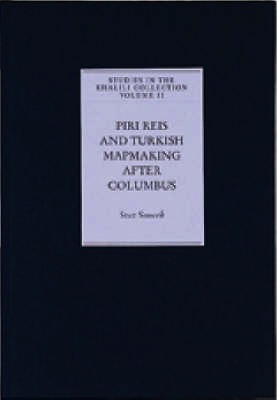
Piri Reis and turkish mapmaking after Columbus
the Khalili portolan atlas
Piri Reis and turkish mapmaking after Columbus
the Khalili portolan atlas
- Disponibile in 7 giorni
- Possibilità di reso entro 10 giorni lavorativi
- Transazione sicura con carta di credito, Paypal o bonifico bancario
- Spedizione tracciata con SDA
Columbus's discoveries in the New World quickly became known in the Muslim lands around the Mediterranean, and the man who played a leading role in transmitting them was the Ottoman naval commander and cartographer Piri Reis. His work is known from fragments of two world maps, and from his Kitab-i Bahriye ('Book of Seamanship'), which he devoted to the problem of sailing the Mediterranean and illustrated with hundreds of charts. The Khalili Portolan Atlas is a fine example of the cartographic tradition he established and, in addition, it includes a series of city views - among them Istanbul, Venice and Cairo - which reflects the vitality of Ottoman topographic painting. This book, which includes a detailed analysis of the Khalili Portolan Atlas, was first issued as a limited edition and accompanied by a facsimile of the manuscript. The aim of this edition is to make more widely available the author's important contribution to our understanding of Piri Reis and his work.

