Sea chart
the illustrated history of nautical maps and navigational charts
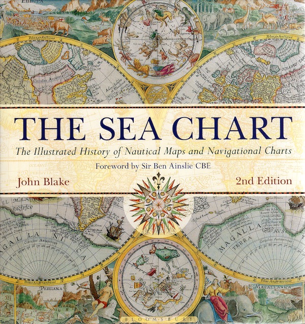
Sea chart
the illustrated history of nautical maps and navigational charts
- Disponibile in 7 giorni
- Possibilità di reso entro 10 giorni lavorativi
- Transazione sicura con carta di credito, Paypal o bonifico bancario
- Spedizione tracciata con SDA
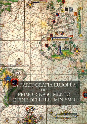
Ocean sailing needed skill, courage, and experience, and the sea chart was the tool by which ships of trade, transport, or conquest navigated. This examines the history and development of the chart and the nautical map, in both scientific and aesthetic terms as a means of safe and accurate seaborne navigation. The Italian merchant-venturers of the early thirteenth century developed the earliest “portolan” pilot charts of the Mediterranean. The subsequent speed of exploration by European seafarers to the New World, around the Cape of Good Hope, and on trade routes to the East, India, and the Spice Islands were results of the development of the sea chart. By the eighteenth century, the discovery and charting of the coasts and oceans of the globe had become a strategic naval and commercial requirement. Such involvements led to Cook's voyages in the Pacific, the search for the Northwest Passage, and races to the Arctic and Antarctic. The volume is arranged along chronological and geographical lines. Each of the ten chapters is split into distinct halves, examining the history of charting a particular region and the context under which such charting took place, followed with specific navigational charts and other relevant illustrations. Key figures or milestones in the history of charting are then presented in stand-alone story box features. This new edition features forty new charts and accompanying text.